
चित्र:Australia New South Wales location map.svg

मूल फाइल (SVG फाइल,साधारण १,८८५ × १,६७० पिक्सेलहरु, फाइल आकार: ५६९ किलोबाइटहरू)
| यो विकिमीडिया कमन्सको चित्र हो। त्यहाँ यसको विवरण पृष्ठबाट जानकारी तल देखाइएको छ। कमन्स स्वतन्त्र रूपमा इजाजतपत्र प्राप्त चित्र भण्डार हो। तपाईंले मद्दत गर्न सक्नुहुन्छ। |
सारांश
| वर्णन |
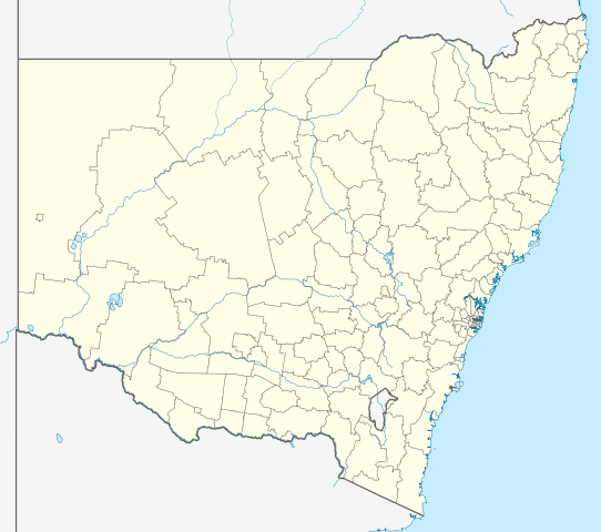
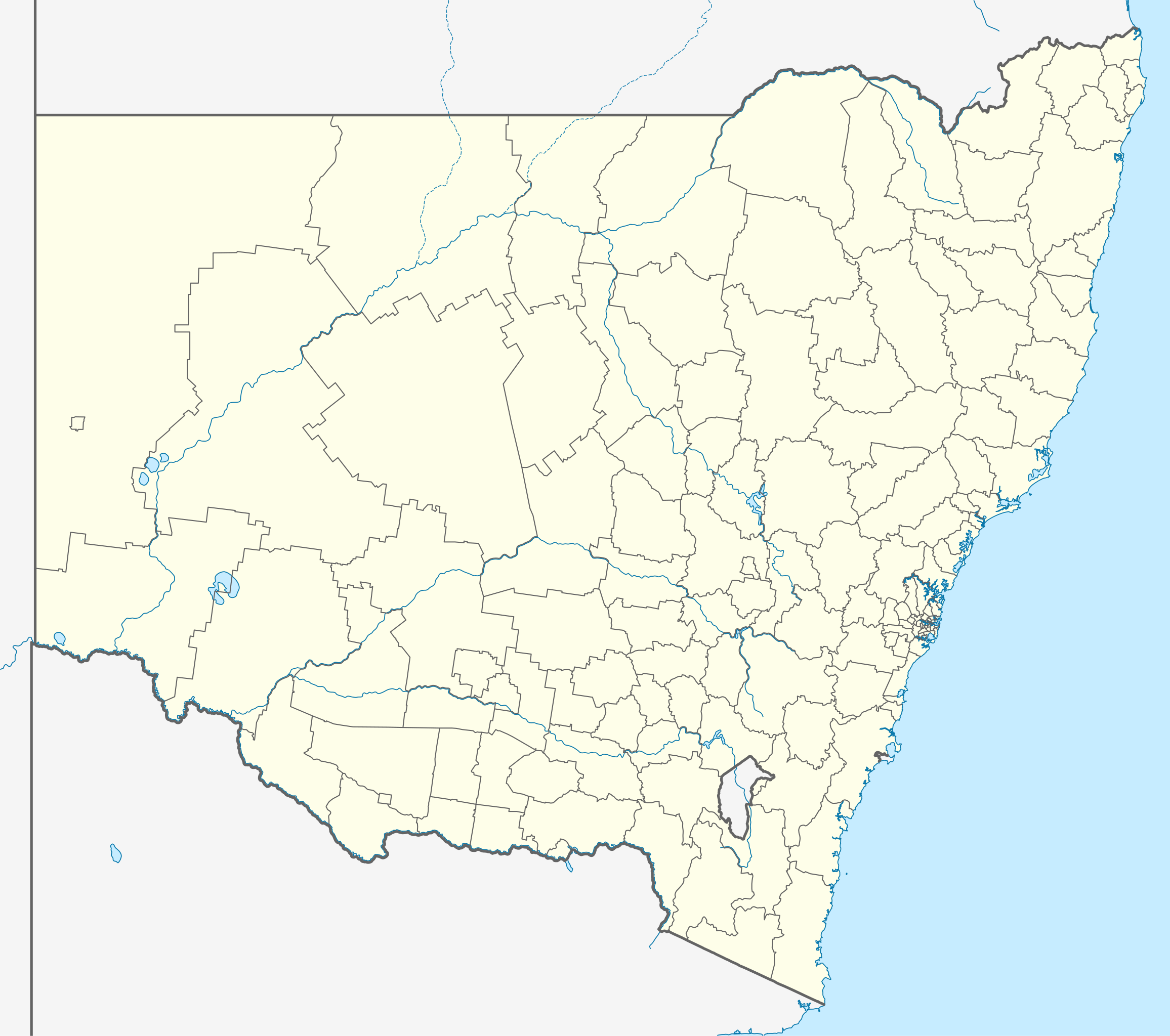
Quadratische Plattkarte, N-S-Streckung 119 %. Geographische Begrenzung der Karte:
Equirectangular projection, N/S stretching 119 %. Geographic limits of the map:
|
|
| मिति | ||
| स्रोत |
मेरो आफ्नै कार्य, using |
|
| लेखक | NordNordWest | |
| अनुमति (यो फाइल पुनप्रयोग गर्न) |
This file is licensed under the Creative Commons Attribution-Share Alike 3.0 Germany license.
 This file is licensed under the Creative Commons Attribution-Share Alike 3.0 Germany license.
|
|
| अरु संस्करणहरू | Derivative works of this file: Australia New South Wales with LGA names.svg |


|
This map has been made or improved in the German Kartenwerkstatt (Map Lab). You can propose maps to improve as well.
|
फाइल इतिहास
मिति/समय मा क्लिक गरेर त्यससमयमा यो फाइल कस्तो थियो भनेर हेर्न सकिन्छ ।
| मिति/समय | छोटो चित्र | आकारहरू | प्रयोगकर्ता | टिप्पणी | |
|---|---|---|---|---|---|
| हालको | ०३:५०, ५ अप्रिल २०१० | | १,८८५×१,६७० (५६९ किलोबाइटहरू) | Chumwa | Reverted to version as of 21:16, 3 February 2010 |
| ०१:३७, ५ अप्रिल २०१० |  | १,८८५×१,६७० (३५१ किलोबाइटहरू) | Roke~commonswiki | local government low saliance, dont appear on general use maps | |
| ०३:०१, ४ फेब्रुअरी २०१० |  | १,८८५×१,६७० (५६९ किलोबाइटहरू) | NordNordWest | + | |
| ०२:३३, २९ जनवरी २०१० |  | १,८८५×१,६७० (३५१ किलोबाइटहरू) | NordNordWest | ={{int:filedesc}}== {{Information |Description= {{de|Positionskarte von New South Wales, Australien}} Quadratische Plattkarte, N-S-Streckung 119 %. Geographische Begrenzung der Karte: * N: 27.9° S * S: 37.8° S |
फाइल प्रयोग
यो फाइलसँग कुनै पनि पृष्ठ जोडिएको छैन।
विश्वव्यापी फाइल प्रयोग
निम्न अन्य विकिहरूमा यस फाइलको प्रयोग:
- af.wikipedia.org मा उपयोग
- als.wikipedia.org मा उपयोग
- ar.wikipedia.org मा उपयोग
- ast.wikipedia.org मा उपयोग
- ba.wikipedia.org मा उपयोग
- be.wikipedia.org मा उपयोग
- bg.wikipedia.org मा उपयोग
- bn.wikipedia.org मा उपयोग
- ceb.wikipedia.org मा उपयोग
- cs.wikipedia.org मा उपयोग
- de.wikipedia.org मा उपयोग
- Sydney
- Thredbo
- Port Macquarie
- Byron Bay
- Newcastle (New South Wales)
- Kingsford Smith International Airport
- Orange (New South Wales)
- Botany Bay
- Namadgi-Nationalpark
- Booderee-Nationalpark
- Wollongong
- Belmont (New South Wales)
- Cape Byron
- Yass
- Nimbin
- Cowra
- Walgett
- Katoomba
- Coffs Harbour
- Tamworth (Australien)
- Deniliquin
- Port Stephens
- Bega (Australien)
- Broken Hill
यस फाइलको विश्वव्यापी उपयोगको अधिक जानकारी हेर्नुहोस् ।