
चित्र:Australia Tasmania location map.svg

मूल फाइल (SVG फाइल,साधारण ७८० × ९५७ पिक्सेलहरु, फाइल आकार: २४४ किलोबाइटहरू)
| यो विकिमीडिया कमन्सको चित्र हो। त्यहाँ यसको विवरण पृष्ठबाट जानकारी तल देखाइएको छ। कमन्स स्वतन्त्र रूपमा इजाजतपत्र प्राप्त चित्र भण्डार हो। तपाईंले मद्दत गर्न सक्नुहुन्छ। |
सारांश
| वर्णन |
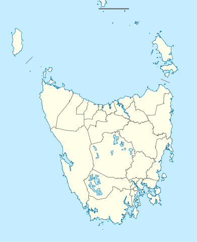
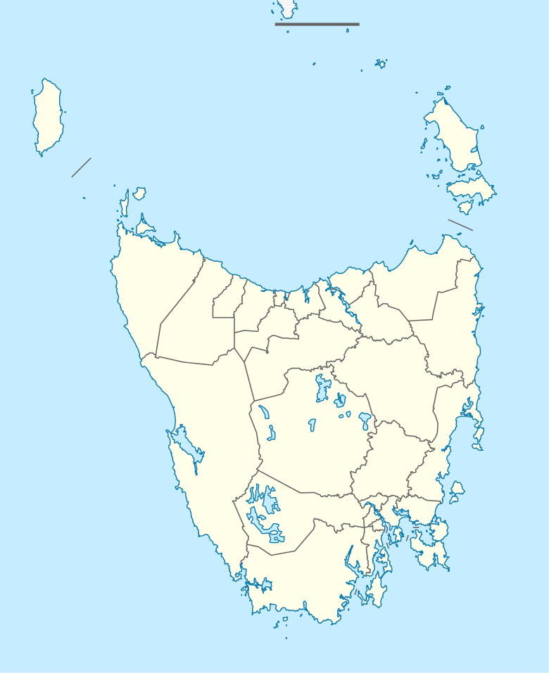
Quadratische Plattkarte, N-S-Streckung 135 %. Geographische Begrenzung der Karte:
Equirectangular projection, N/S stretching 135 %. Geographic limits of the map:
|
||
| मिति | |||
| स्रोत |
मेरो आफ्नै कार्य, using
|
||
| लेखक | NordNordWest | ||
| अनुमति (यो फाइल पुनप्रयोग गर्न) |
This file is licensed under the Creative Commons Attribution-Share Alike 3.0 Germany license.
 |
||
| SVG genesis | This map was created with unknown tool.
|


फाइल इतिहास
मिति/समय मा क्लिक गरेर त्यससमयमा यो फाइल कस्तो थियो भनेर हेर्न सकिन्छ ।
| मिति/समय | छोटो चित्र | आकारहरू | प्रयोगकर्ता | टिप्पणी | |
|---|---|---|---|---|---|
| हालको | ०३:५३, ५ अप्रिल २०१० | | ७८०×९५७ (२४४ किलोबाइटहरू) | Chumwa | Reverted to version as of 16:36, 29 December 2009 |
| ०३:३७, ५ अप्रिल २०१० |  | ७८०×९५७ (१९० किलोबाइटहरू) | Roke~commonswiki | local government low salience, dont appear on general use maps | |
| २२:२१, २९ डिसेम्बर २००९ |  | ७८०×९५७ (२४४ किलोबाइटहरू) | NordNordWest | ||
| २२:०८, २९ डिसेम्बर २००९ |  | ७८०×९५७ (२४४ किलोबाइटहरू) | NordNordWest | =={{int:filedesc}}== {{Information |Description= {{de|Positionskarte von Tasmanien, Australien}} Quadratische Plattkarte, N-S-Streckung 135 %. Geographische Begrenzung der Karte: * N: 39.0° S * S: 44.0° S * W: 143.5� |
फाइल प्रयोग
यस फाइलमा निम्न पृष्ठ जोडिन्छ:
विश्वव्यापी फाइल प्रयोग
निम्न अन्य विकिहरूमा यस फाइलको प्रयोग:
- af.wikipedia.org मा उपयोग
- ar.wikipedia.org मा उपयोग
- ast.wikipedia.org मा उपयोग
- azb.wikipedia.org मा उपयोग
- az.wikipedia.org मा उपयोग
- ba.wikipedia.org मा उपयोग
- be.wikipedia.org मा उपयोग
- bg.wikipedia.org मा उपयोग
- ceb.wikipedia.org मा उपयोग
- ckb.wikipedia.org मा उपयोग
- cs.wikipedia.org मा उपयोग
- de.wikipedia.org मा उपयोग
- Hobart
- Launceston (Tasmanien)
- George Town (Tasmanien)
- Port Arthur (Tasmanien)
- Freycinet-Nationalpark
- Mount-Field-Nationalpark
- Cradle-Mountain-Lake-St.-Clair-Nationalpark
- Ben-Lomond-Nationalpark
- Walls-of-Jerusalem-Nationalpark
- Westbury (Tasmanien)
- Devonport (Tasmanien)
- Strahan (Tasmanien)
- Latrobe (Tasmanien)
- Mount-William-Nationalpark
- Kent-Group-Nationalpark
- Vorlage:Positionskarte Australien Tasmanien
- Douglas-Apsley-Nationalpark
- Hartz-Mountains-Nationalpark
- Mole-Creek-Karst-Nationalpark
- Narawntapu-Nationalpark
- Rocky-Cape-Nationalpark
यस फाइलको विश्वव्यापी उपयोगको अधिक जानकारी हेर्नुहोस् ।