
चित्र:MaharashtraKolhapur.png
यस पूर्व रुपको आकार: ७७८ × ६०० पिक्सल। अरु संकल्पहरू: ३१२ × २४० पिक्सल • ६२३ × ४८० पिक्सल • ९९७ × ७६८ पिक्सल • १,२८० × ९८७ पिक्सल • २,१६८ × १,६७१ पिक्सल।
मूल फाइल (२,१६८ × १,६७१ पिक्सेलहरू, फाइल आकार: ४२६ किलोबाइटहरू, MIME प्रकार: image/png)
| यो विकिमीडिया कमन्सको चित्र हो। त्यहाँ यसको विवरण पृष्ठबाट जानकारी तल देखाइएको छ। कमन्स स्वतन्त्र रूपमा इजाजतपत्र प्राप्त चित्र भण्डार हो। तपाईंले मद्दत गर्न सक्नुहुन्छ। |
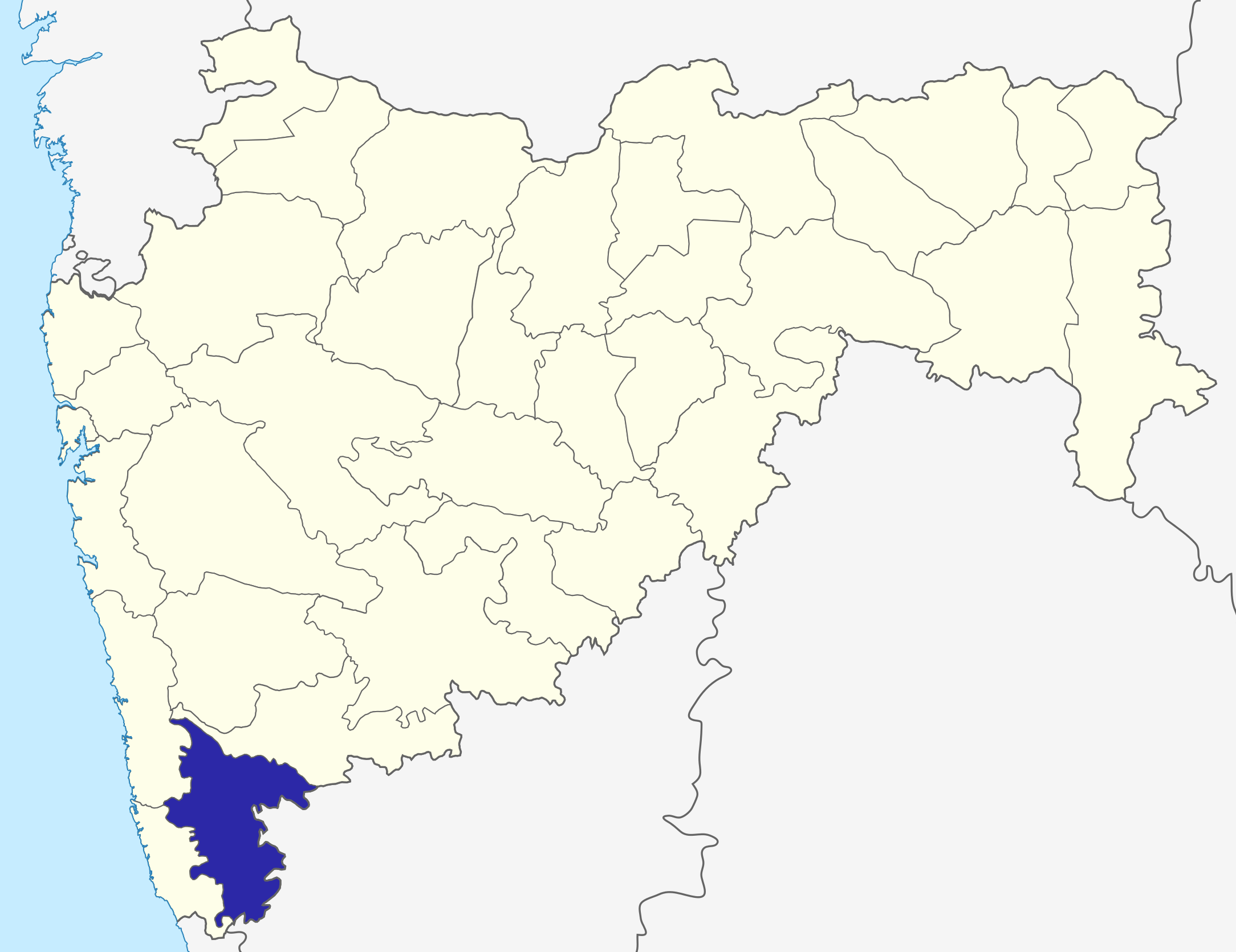
| वर्णन | Kolhapur District map in Maharashtra |
| मिति | (UTC) |
| स्रोत | |
| लेखक |
|
| This is a retouched picture, which means that it has been digitally altered from its original version. The original can be viewed here: Maharashtra locator map.svg:
|
I, the copyright holder of this work, hereby publish it under the following license:
यो फाइल क्रिएटिभ कमन्स एट्रिब्युसन-सेयर एलाइक ३.० अनपोर्टेड लाइसेन्स अनुसारको अनुमति प्राप्त छ।
- तपाईं स्वतन्त्र हुनुहुन्छ :
- साझेदारी गर्नुहाेस् – रचनालाई कपी, वितरित तथा संचारित गर्नको लागि
- रिमिक्स गर्नको लागि – काम अनुकूलित गर्नको लागि
- निम्नलिखित कारणहरूको अन्तर्गत:
- एट्रिब्युसन – तपाईंले रचनाको श्रेय अनुमतिपत्रकर्ता अथवा लेखकले बताएको माध्यमले दिनु पर्नेछ (तर यस प्रकार हैन, जसमा लागोस् की उ तपाईंलाई अथवा तपाईंको रचनाको प्रयोगलाई समर्थन गर्छन्)।
- शेयर अलाइक – यदि तपाई यस रचनामा कुनै परिवर्तन अथवा संसोधन गर्नुहुन्छ या यसमा आधारित केही रचना गर्नुहुन्छ भने तपाई निष्कर्ष स्वरूप बनेको रचनालाई मात्र यहाँ अथवा यसको समान कुनै अनिमति पत्र अन्तर्गत वितरित गर्न सक्नुहुन्छ।
Original upload log
This image is a derivative work of the following images:
- File:Maharashtra_locator_map.svg licensed with Cc-by-sa-3.0
- 2008-12-21T12:11:22Z PlaneMad 2789x2232 (365545 Bytes) {{Information |Description= |Source= |Date= |Author= |Permission= |other_versions= }}
- 2008-12-21T12:08:04Z PlaneMad 2789x2232 (365091 Bytes) {{Information |Description={{en|1=map}} |Source=Own work by uploader |Author=[[User:PlaneMad|PlaneMad]] |Date= |Permission= |other_versions= }}
Uploaded with derivativeFX
फाइल इतिहास
मिति/समय मा क्लिक गरेर त्यससमयमा यो फाइल कस्तो थियो भनेर हेर्न सकिन्छ ।
| मिति/समय | छोटो चित्र | आकारहरू | प्रयोगकर्ता | टिप्पणी | |
|---|---|---|---|---|---|
| हालको | १२:१८, ६ अक्टोबर २०१५ | | २,१६८×१,६७१ (४२६ किलोबाइटहरू) | Abhijitsathe | State map updated to reflect new Palghar district |
| ०३:४८, २२ सेप्टेम्बर २००९ |  | २,७८९×२,२३२ (९५५ किलोबाइटहरू) | Abhijitsathe | India map inset | |
| २१:१९, १० अप्रिल २००९ |  | २,७८९×२,२३२ (७९३ किलोबाइटहरू) | Abhijitsathe | {{Information |Description=Kolhapur District map in Maharashtra |Source=*File:Maharashtra_locator_map.svg |Date=2009-04-10 16:33 (UTC) |Author=*File:Maharashtra_locator_map.svg: '''PlaneMad''' *derivative work: ~~~ |Permission=see below |other |
फाइल प्रयोग
यो फाइलसँग कुनै पनि पृष्ठ जोडिएको छैन।