
चित्र:Wiltshire UK relief location map.jpg
यस पूर्व रुपको आकार: ४९२ × ६०० पिक्सल। अरु संकल्पहरू: १९७ × २४० पिक्सल • ३९४ × ४८० पिक्सल • ६३० × ७६८ पिक्सल • ८४० × १,०२४ पिक्सल • २,००५ × २,४४४ पिक्सल।
मूल फाइल (२,००५ × २,४४४ पिक्सेलहरू, फाइल आकार: ५०८ किलोबाइटहरू, MIME प्रकार: image/jpeg)
| यो विकिमीडिया कमन्सको चित्र हो। त्यहाँ यसको विवरण पृष्ठबाट जानकारी तल देखाइएको छ। कमन्स स्वतन्त्र रूपमा इजाजतपत्र प्राप्त चित्र भण्डार हो। तपाईंले मद्दत गर्न सक्नुहुन्छ। |
| वर्णन |
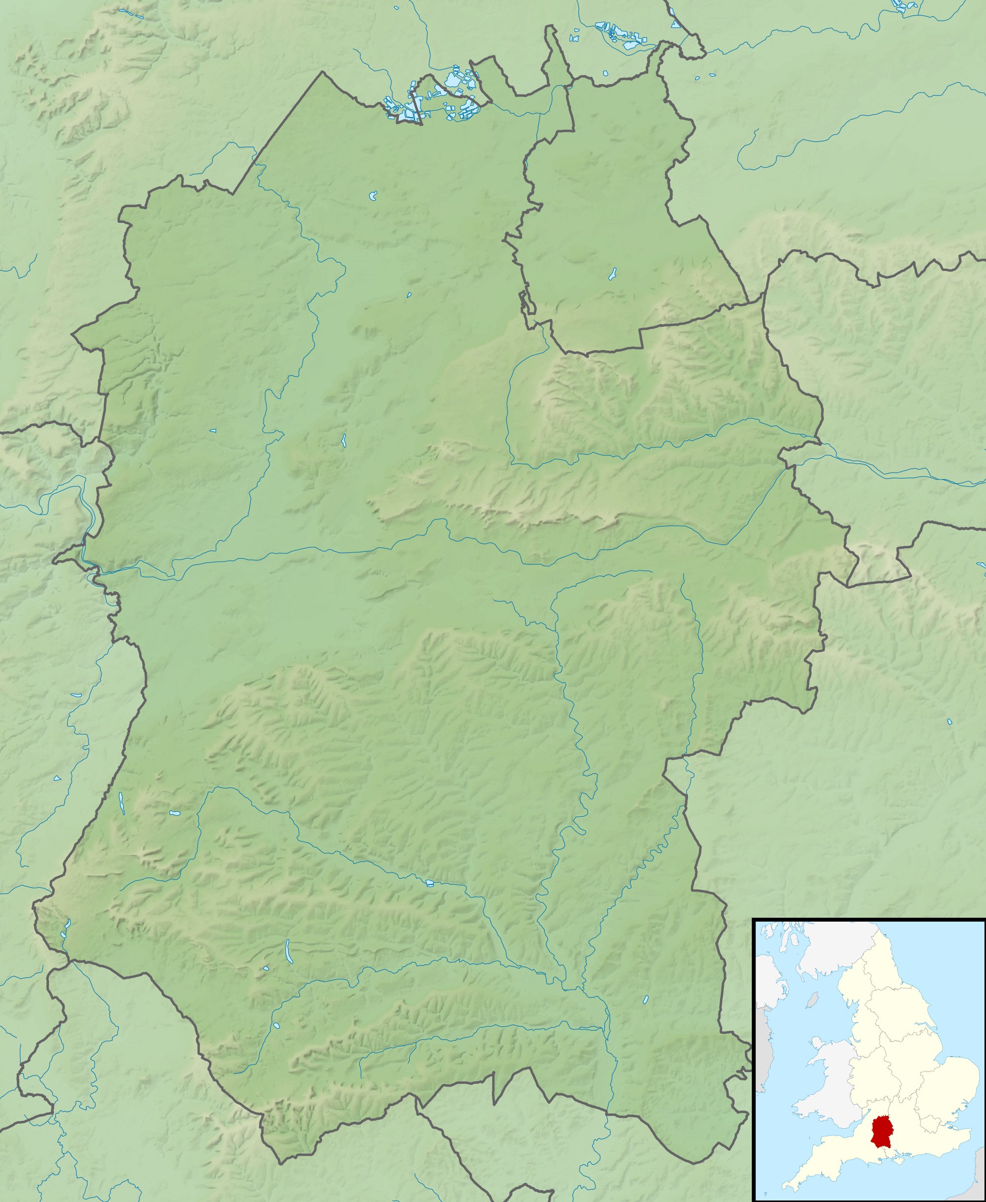
Relief map of Wiltshire, UK. Equirectangular map projection on WGS 84 datum, with N/S stretched 160% Geographic limits:
|
| मिति | |
| स्रोत |
|
| लेखक | Nilfanion, created using Ordnance Survey data |
| अनुमति (यो फाइल पुनप्रयोग गर्न) |
यो फाइल क्रिएटिभ कमन्स एट्रिब्युसन-सेयर एलाइक ३.० अनपोर्टेड लाइसेन्स अनुसारको अनुमति प्राप्त छ। एट्रिब्युसन: Contains Ordnance Survey data © Crown copyright and database right
|
| अरु संस्करणहरू | File:Wiltshire UK district map (blank).svg - Blank map |
.svg)
फाइल इतिहास
मिति/समय मा क्लिक गरेर त्यससमयमा यो फाइल कस्तो थियो भनेर हेर्न सकिन्छ ।
| मिति/समय | छोटो चित्र | आकारहरू | प्रयोगकर्ता | टिप्पणी | |
|---|---|---|---|---|---|
| हालको | ०७:४८, २९ नोभेम्बर २०११ | | २,००५×२,४४४ (५०८ किलोबाइटहरू) | Nilfanion | {{Information |Description=Relief map of Wiltshire, UK. Equirectangular map projection on WGS 84 datum, with N/S stretched 160% Geographic limits: *West: 2.40W *East: 1.35W *North: 51.72N *South: 50.92N |Source=[[w:Ordnance Survey|Ordnan |
फाइल प्रयोग
यस फाइलमा निम्न पृष्ठ जोडिन्छ:
विश्वव्यापी फाइल प्रयोग
निम्न अन्य विकिहरूमा यस फाइलको प्रयोग:
- ar.wikipedia.org मा उपयोग
- bg.wikipedia.org मा उपयोग
- bh.wikipedia.org मा उपयोग
- ceb.wikipedia.org मा उपयोग
- cy.wikipedia.org मा उपयोग
- en.wikipedia.org मा उपयोग
- River Avon, Hampshire
- Battle of Roundway Down
- Avebury
- Stourhead
- Windmill Hill, Avebury
- The Sanctuary
- Kennet Avenue
- Stonehenge Landscape
- Fonthill Lake
- Shearwater (lake)
- Milk Hill
- Cunetio
- Win Green Down
- Wilton Water
- White Barrow
- Vespasian's Camp
- Battle of Aldbourne Chase
- Bluestonehenge
- Overton Hill
- Challenge Tour Championship
- Martinsell Hill
- River Sem
- Module:Location map/data/United Kingdom Wiltshire
- Module:Location map/data/Wiltshire
- Module:Location map/data/United Kingdom Wiltshire/doc
- Poisoning of Sergei and Yulia Skripal
- Roundway Park
- Siege of Wardour Castle
- Alvediston Manor
- Bath House at Corsham Court
- Moat House, Britford
- es.wikipedia.org मा उपयोग
- fa.wikipedia.org मा उपयोग
यस फाइलको विश्वव्यापी उपयोगको अधिक जानकारी हेर्नुहोस् ।