
चित्र:Australia Northern Territory location map.svg

मूल फाइल (SVG फाइल,साधारण १,१३४ × १,५७७ पिक्सेलहरु, फाइल आकार: २.२९ मेगाबाइटहरू)
| यो विकिमीडिया कमन्सको चित्र हो। त्यहाँ यसको विवरण पृष्ठबाट जानकारी तल देखाइएको छ। कमन्स स्वतन्त्र रूपमा इजाजतपत्र प्राप्त चित्र भण्डार हो। तपाईंले मद्दत गर्न सक्नुहुन्छ। |
सारांश
| वर्णन |
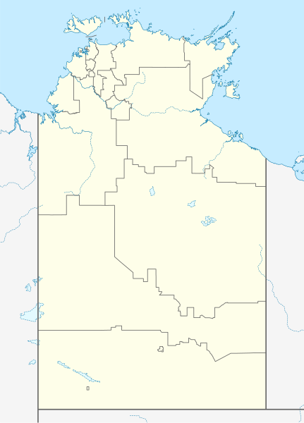
Quadratische Plattkarte, N-S-Streckung 105 %. Geographische Begrenzung der Karte:
Equirectangular projection, N/S stretching 105 %. Geographic limits of the map:
|
|
| मिति | ||
| स्रोत |
मेरो आफ्नै कार्य, using
|
|
| लेखक | NordNordWest | |
| अनुमति (यो फाइल पुनप्रयोग गर्न) |
This file is licensed under the Creative Commons Attribution-Share Alike 3.0 Germany license.
 This file is licensed under the Creative Commons Attribution-Share Alike 3.0 Germany license.
|
|
| अरु संस्करणहरू | Derivative works of this file: Australia Northern Territory with LGA names.svg |


|
This map has been made or improved in the German Kartenwerkstatt (Map Lab). You can propose maps to improve as well.
|
फाइल इतिहास
मिति/समय मा क्लिक गरेर त्यससमयमा यो फाइल कस्तो थियो भनेर हेर्न सकिन्छ ।
| मिति/समय | छोटो चित्र | आकारहरू | प्रयोगकर्ता | टिप्पणी | |
|---|---|---|---|---|---|
| हालको | १६:३५, ७ फेब्रुअरी २०२३ | | १,१३४×१,५७७ (२.२९ मेगाबाइटहरू) | The2016 | Updated to current LGA boundaries. |
| ०३:५२, ५ अप्रिल २०१० |  | १,१३४×१,५७७ (५३३ किलोबाइटहरू) | Chumwa | Reverted to version as of 16:37, 18 December 2009 | |
| ०३:४१, ५ अप्रिल २०१० |  | १,१३४×१,५७७ (४९३ किलोबाइटहरू) | Roke~commonswiki | local government low salience, dont appear on general use maps | |
| २२:२२, १८ डिसेम्बर २००९ |  | १,१३४×१,५७७ (५३३ किलोबाइटहरू) | NordNordWest | =={{int:filedesc}}== {{Information |Description= {{de|Positionskarte des Northern Territory, Australien}} Quadratische Plattkarte, N-S-Streckung 105 %. Geographische Begrenzung der Karte: * N: 10.6° S * S: 26 |
फाइल प्रयोग
यो फाइलसँग कुनै पनि पृष्ठ जोडिएको छैन।
विश्वव्यापी फाइल प्रयोग
निम्न अन्य विकिहरूमा यस फाइलको प्रयोग:
- af.wikipedia.org मा उपयोग
- als.wikipedia.org मा उपयोग
- azb.wikipedia.org मा उपयोग
- ba.wikipedia.org मा उपयोग
- bg.wikipedia.org मा उपयोग
- ceb.wikipedia.org मा उपयोग
- cs.wikipedia.org मा उपयोग
- de.wikipedia.org मा उपयोग
- Darwin (Northern Territory)
- Alice Springs
- Yulara
- Hermannsburg (Australien)
- Yuendumu
- Daly Waters
- Tennant Creek
- Darwin International Airport
- Katherine
- Jabiru (Australien)
- Palmerston (Northern Territory)
- Milikapiti
- Pine Creek (Northern Territory)
- Mataranka
- Vorlage:Positionskarte Australien Northern Territory
- Elliott (Australien)
- Timber Creek
- Wikipedia:Kartenwerkstatt/Positionskarten/Australien und Ozeanien
- Erldunda
- Papunya
- Kintore (Northern Territory)
- Adelaide River (Ortschaft)
- Haasts Bluff
- Yirrkala
- Ramingining
- Milingimbi
- Barrow Creek
- RAAF Base Tindal
- RAAF Base Darwin
- Kaltukatjara
- Benutzer:Rr2000/Vorlagentest Ort in Australien
- Connellan Airport
- Corella Creek
- Cape Crawford
- Borroloola
- Humpty Doo
- Batchelor (Australien)
- Kelly-West-Krater
- Maningrida
- Daly River (Stadt)
- American-Australian Scientific Expedition to Arnhem Land
यस फाइलको विश्वव्यापी उपयोगको अधिक जानकारी हेर्नुहोस् ।