
चित्र:Spain location map.svg

Size of this PNG preview of this SVG file: ६९९ × ६०० पिक्सल. अरु संकल्पहरू: २८० × २४० पिक्सल • ५५९ × ४८० पिक्सल • ८९५ × ७६८ पिक्सल • १,१९३ × १,०२४ पिक्सल • २,३८७ × २,०४८ पिक्सल • १,१८४ × १,०१६ पिक्सल।
मूल फाइल (SVG फाइल,साधारण १,१८४ × १,०१६ पिक्सेलहरु, फाइल आकार: ५३६ किलोबाइटहरू)
| यो विकिमीडिया कमन्सको चित्र हो। त्यहाँ यसको विवरण पृष्ठबाट जानकारी तल देखाइएको छ। कमन्स स्वतन्त्र रूपमा इजाजतपत्र प्राप्त चित्र भण्डार हो। तपाईंले मद्दत गर्न सक्नुहुन्छ। |
सारांश
| वर्णन |
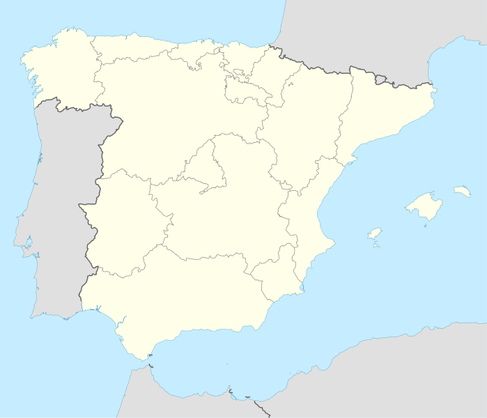
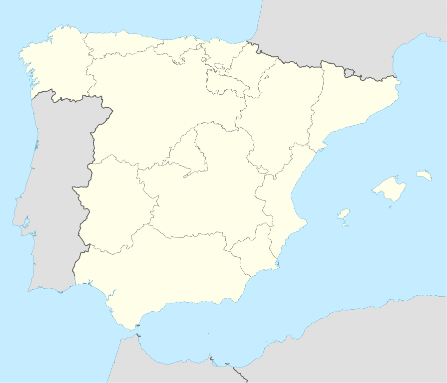
Deutsch: Positionskarte von Spanien
Quadratische Plattkarte, N-S-Streckung 130 %. Geographische Begrenzung der Karte:
English: Location map of Spain
Equirectangular projection, N/S stretching 130 %. Geographic limits of the map:
|
||
| मिति | |||
| स्रोत | मेरो आफ्नै कार्य | ||
| लेखक | NordNordWest | ||
| अरु संस्करणहरू |
Derivative works of this file: |
||
| SVG genesis | This locator map was created with Inkscape by NordNordWest.
|

अनुज्ञा प्राप्त गर्दै
I, the copyright holder of this work, hereby publish it under the following licenses:

|
यस दस्तावेजलाई स्वतन्त्र सफ्टवायर फाउन्डेसन द्वारा प्रकाशित जी॰एन॰यू फ्रि डक्यूमेन्टेशन लाइसेन्स को संस्करण 1.2 वा नयाँ (बिना कुनै इन्वेरियेन्ट अनुभाग र पछिल्लो वा पहिलो आवरणका पाठका) को अन्तर्गत कपी, वितरित एवं/अथवा परिवर्तित गर्ने अनुमति प्रदान गरिन्छ । यस लाइसेन्सको एक प्रति जी॰एन॰यू फ्रि डक्यूमेन्टेशन लाइसेन्स नामक अनुभागमा शामिल छ । |
यो फाइल क्रिएटिभ कमन्स एट्रिब्युसन-सेयर एलाइक ३.० अनपोर्टेड लाइसेन्स अनुसारको अनुमति प्राप्त छ।
- तपाईं स्वतन्त्र हुनुहुन्छ :
- साझेदारी गर्नुहाेस् – रचनालाई कपी, वितरित तथा संचारित गर्नको लागि
- रिमिक्स गर्नको लागि – काम अनुकूलित गर्नको लागि
- निम्नलिखित कारणहरूको अन्तर्गत:
- एट्रिब्युसन – तपाईंले रचनाको श्रेय अनुमतिपत्रकर्ता अथवा लेखकले बताएको माध्यमले दिनु पर्नेछ (तर यस प्रकार हैन, जसमा लागोस् की उ तपाईंलाई अथवा तपाईंको रचनाको प्रयोगलाई समर्थन गर्छन्)।
- शेयर अलाइक – यदि तपाई यस रचनामा कुनै परिवर्तन अथवा संसोधन गर्नुहुन्छ या यसमा आधारित केही रचना गर्नुहुन्छ भने तपाई निष्कर्ष स्वरूप बनेको रचनालाई मात्र यहाँ अथवा यसको समान कुनै अनिमति पत्र अन्तर्गत वितरित गर्न सक्नुहुन्छ।
तपाईँ आफ्नो मनपर्ने इजाजतपत्र रोज्न सक्नुहुन्छ ।
फाइल इतिहास
मिति/समय मा क्लिक गरेर त्यससमयमा यो फाइल कस्तो थियो भनेर हेर्न सकिन्छ ।
| मिति/समय | छोटो चित्र | आकारहरू | प्रयोगकर्ता | टिप्पणी | |
|---|---|---|---|---|---|
| हालको | २०:०८, ७ जुलाई २००८ | | १,१८४×१,०१६ (५३६ किलोबाइटहरू) | NordNordWest | |
| १९:४३, ४ जुलाई २००८ |  | १,१८४×१,०१६ (७८५ किलोबाइटहरू) | NordNordWest | corrected | |
| १९:३९, ४ जुलाई २००८ |  | १,१८४×१,०१६ (७९१ किलोबाइटहरू) | NordNordWest | {{Information |Description= {{de|Positionskarte von Spanien}} Quadratische Plattkarte, N-S-Streckung 130 %. Geographische Begrenzung der Karte: * N: 44.4° N * S: 34.7° N * W: 9.9° W * O: 4.8° O {{en|Location map of Spain} |
फाइल प्रयोग
यस फाइलमा निम्न 2 पृष्ठहरू जोडिन्छन्:
विश्वव्यापी फाइल प्रयोग
निम्न अन्य विकिहरूमा यस फाइलको प्रयोग:
- ace.wikipedia.org मा उपयोग
- af.wikipedia.org मा उपयोग
- Cadaqués
- Alt Empordà
- Almazán
- Ágreda
- San Leonardo de Yagüe
- Abejar
- Adradas
- Alconaba
- Alcubilla de las Peñas
- Aldealafuente
- Alcubilla de Avellaneda
- Aldealices
- Almajano
- Yelo
- Aldealpozo
- Aldealseñor
- Alentisque
- Aliud
- Almaluez
- Almarza
- Cubilla
- Covaleda
- Ciria
- Cigudosa
- Dévanos
- Cihuela
- Coscurita
- Barca
- Nepas
- Nolay
- Noviercas
- Liceras
- La Losilla
- Portillo de Soria
- Oncala
- Ólvega
- Rioseco de Soria
- La Riba de Escalote
- Renieblas
- Quintana Redonda
- Los Rábanos
- Recuerda
- Rebollar
- Almazul
- Baraona
- Blacos
- Calatañazor
- Candilichera
यस फाइलको विश्वव्यापी उपयोगको अधिक जानकारी हेर्नुहोस् ।