
चित्र:The Florida straits, the L-shaped channel between southeastern Florida and the Bahamas, and the Florida Keys and Cuba.gif

यस पूर्व रुपको आकार: ६५० × ६०० पिक्सल। अरु संकल्पहरू: २६० × २४० पिक्सल • ५२० × ४८० पिक्सल • ८३२ × ७६८ पिक्सल • १,१०९ × १,०२४ पिक्सल • १,३०० × १,२०० पिक्सल।
मूल फाइल (१,३०० × १,२०० पिक्सेलहरू, फाइल आकार: ६१८ किलोबाइटहरू, MIME प्रकार: image/gif)
| यो विकिमीडिया कमन्सको चित्र हो। त्यहाँ यसको विवरण पृष्ठबाट जानकारी तल देखाइएको छ। कमन्स स्वतन्त्र रूपमा इजाजतपत्र प्राप्त चित्र भण्डार हो। तपाईंले मद्दत गर्न सक्नुहुन्छ। |
सारांश
| वर्णन |
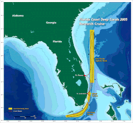
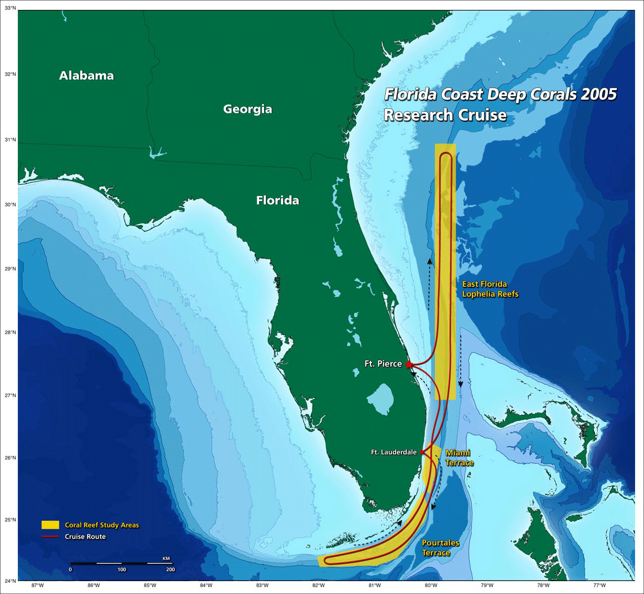
English: the Florida straits, the L-shaped channel between southeastern Florida and the Bahamas, and the Florida Keys and Cuba.[1] |
| मिति | 20:22, 30 October 2009 (UTC) |
| स्रोत | http://oceanexplorer.noaa.gov/explorations/05deepcorals/background/mission_plan/media/map_600.gif |
| लेखक | Image courtesy of NOAA OE. |
| अनुमति (यो फाइल पुनप्रयोग गर्न) |
U.S. Government work |
अनुज्ञा प्राप्त गर्दै
This image is in the public domain because it contains materials that originally came from the U.S. National Oceanic and Atmospheric Administration, taken or made as part of an employee's official duties.
|
फाइल इतिहास
मिति/समय मा क्लिक गरेर त्यससमयमा यो फाइल कस्तो थियो भनेर हेर्न सकिन्छ ।
| मिति/समय | छोटो चित्र | आकारहरू | प्रयोगकर्ता | टिप्पणी | |
|---|---|---|---|---|---|
| हालको | ०२:०७, ३१ अक्टोबर २००९ | | १,३००×१,२०० (६१८ किलोबाइटहरू) | Mattisse | {{Information |Description = the Florida straits, the L-shaped channel between southeastern Florida and the Bahamas, and the Florida Keys and Cuba.[http://oceanexplorer.noaa.gov/explorations/05deepcorals/background/mission_plan/media/map_600.html] |S |
फाइल प्रयोग
यो फाइलसँग कुनै पनि पृष्ठ जोडिएको छैन।
विश्वव्यापी फाइल प्रयोग
निम्न अन्य विकिहरूमा यस फाइलको प्रयोग:
- arz.wikipedia.org मा उपयोग
- ca.wikipedia.org मा उपयोग
- en.wikipedia.org मा उपयोग
- fr.wikipedia.org मा उपयोग