
चित्र:Malacca location map.svg

Size of this PNG preview of this SVG file: ८०० × ५०६ पिक्सल. अरु संकल्पहरू: ३२० × २०२ पिक्सल • ६४० × ४०५ पिक्सल • १,०२४ × ६४८ पिक्सल • १,२८० × ८१० पिक्सल • २,५६० × १,६२० पिक्सल • ९८० × ६२० पिक्सल।
मूल फाइल (SVG फाइल,साधारण ९८० × ६२० पिक्सेलहरु, फाइल आकार: ५९६ किलोबाइटहरू)
| यो विकिमीडिया कमन्सको चित्र हो। त्यहाँ यसको विवरण पृष्ठबाट जानकारी तल देखाइएको छ। कमन्स स्वतन्त्र रूपमा इजाजतपत्र प्राप्त चित्र भण्डार हो। तपाईंले मद्दत गर्न सक्नुहुन्छ। |
सारांश
| वर्णन |
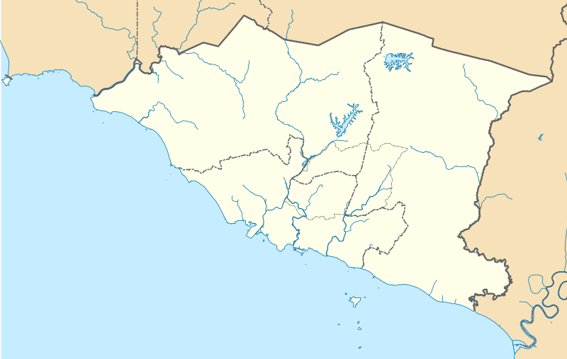
English: A map showing districts of Melaka (blank version) |
| मिति | |
| स्रोत | मेरो आफ्नै कार्य |
| लेखक | Zh9567 |
अनुज्ञा प्राप्त गर्दै
I, the copyright holder of this work, hereby publish it under the following license:
This file is licensed under the Creative Commons Attribution-Share Alike 4.0 International license.
- तपाईं स्वतन्त्र हुनुहुन्छ :
- साझेदारी गर्नुहाेस् – रचनालाई कपी, वितरित तथा संचारित गर्नको लागि
- रिमिक्स गर्नको लागि – काम अनुकूलित गर्नको लागि
- निम्नलिखित कारणहरूको अन्तर्गत:
- एट्रिब्युसन – तपाईंले रचनाको श्रेय अनुमतिपत्रकर्ता अथवा लेखकले बताएको माध्यमले दिनु पर्नेछ (तर यस प्रकार हैन, जसमा लागोस् की उ तपाईंलाई अथवा तपाईंको रचनाको प्रयोगलाई समर्थन गर्छन्)।
- शेयर अलाइक – यदि तपाई यस रचनामा कुनै परिवर्तन अथवा संसोधन गर्नुहुन्छ या यसमा आधारित केही रचना गर्नुहुन्छ भने तपाई निष्कर्ष स्वरूप बनेको रचनालाई मात्र यहाँ अथवा यसको समान कुनै अनिमति पत्र अन्तर्गत वितरित गर्न सक्नुहुन्छ।
फाइल इतिहास
मिति/समय मा क्लिक गरेर त्यससमयमा यो फाइल कस्तो थियो भनेर हेर्न सकिन्छ ।
| मिति/समय | छोटो चित्र | आकारहरू | प्रयोगकर्ता | टिप्पणी | |
|---|---|---|---|---|---|
| हालको | १४:२७, १३ अप्रिल २०२१ | | ९८०×६२० (५९६ किलोबाइटहरू) | Zh9567 | minor |
| १२:४४, १२ अप्रिल २०२१ |  | ९८०×६२० (५९७ किलोबाइटहरू) | Zh9567 | Uploaded own work with UploadWizard |
फाइल प्रयोग
यो फाइलसँग कुनै पनि पृष्ठ जोडिएको छैन।
विश्वव्यापी फाइल प्रयोग
निम्न अन्य विकिहरूमा यस फाइलको प्रयोग:
- en.wikipedia.org मा उपयोग
- Malacca City
- Masjid Tanah
- Tanjung Tuan
- Ayer Keroh
- Merlimau
- Besar Island, Malacca
- Malacca Island
- Durian Tunggal
- Batu Berendam
- Tanjung Kling
- Bukit Katil
- Sungai Rambai
- Tanjung Bidara
- Wikipedia:WikiProject Malaysia/Cartography
- Portuguese Settlement, Malacca
- Simpang Ampat (Malacca)
- Hang Tuah Jaya
- Jasin (town)
- Linggi River
- Malacca
- Pengkalan Balak Beach
- Durian Tunggal Reservoir
- Sungai Udang Recreational Forest
- Alor Gajah Square
- Jus Reservoir
- Ayer Keroh Lake
- Ayer Keroh Square
- 1Malaysia Square
- Jasin Square
- Puteri Beach
- Bukit Batu Lebah Recreational Forest
- Klebang Beach
- Kuala Linggi Mangrove Recreational Forest
- Alor Gajah
- Konet Island
- Module:Location map/data/Malaysia Malacca
- Module:Location map/data/Malaysia Malacca/doc
- Undan Island
- Bukit Baru
- Upeh Island
- fr.wikipedia.org मा उपयोग
- id.wikipedia.org मा उपयोग
- ms.wikipedia.org मा उपयोग
- os.wikipedia.org मा उपयोग
यस फाइलको विश्वव्यापी उपयोगको अधिक जानकारी हेर्नुहोस् ।